Capture the Vision, Command the Market.
High-altitude atmospheric cinematography for the modern visionary.
High-altitude atmospheric cinematography for the modern visionary.
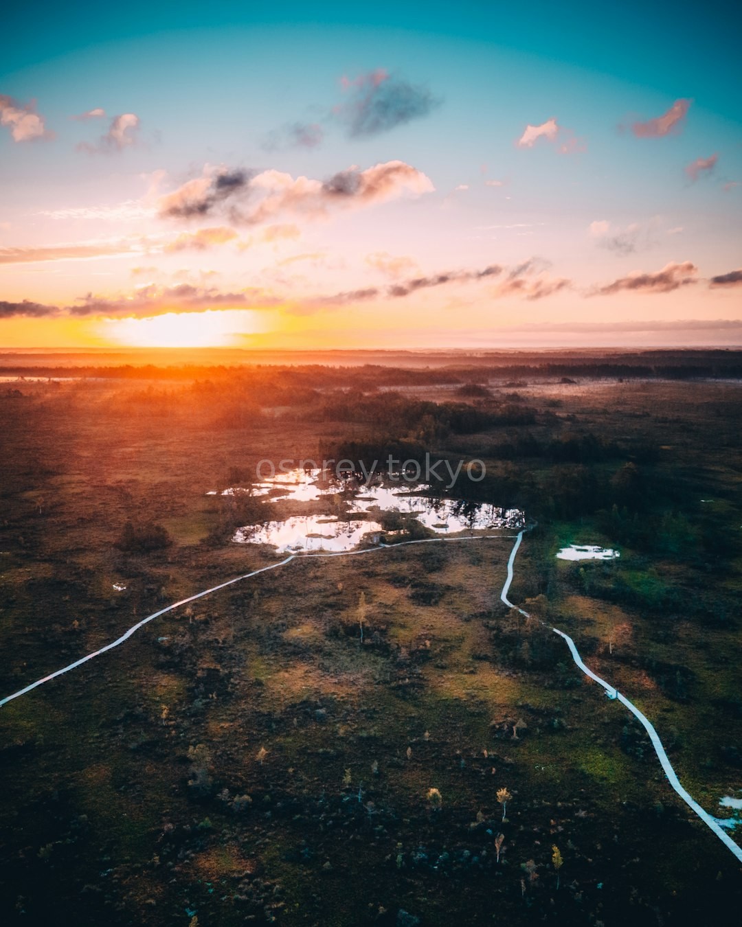
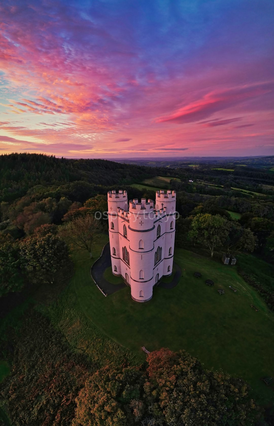
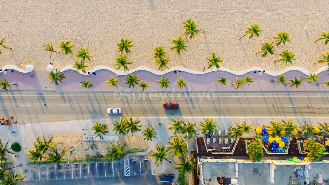

The Zenith Circle was founded to bridge the gap between traditional aerial photography and the vast scale of orbital perspectives. We provide high-altitude visuals that were once reserved for satellites.
Whether you are a film studio needing epic scale or an agency requiring precision mapping, our technology delivers clarity where others see only clouds.
Pioneering high-altitude drone tech since 2018.
To expand the boundaries of visual storytelling.
The standard for sub-orbital imagery.
Precision, integrity, and absolute clarity.
"The clarity of the atmospheric shots was unparalleled. We captured the entire mountain range in a single, breathtaking pass."
- Director, Horizon Films"The geospatial data provided by The Zenith Circle was critical for our environmental impact assessment. Highly professional."
- Dr. Aris Thorne, Geo-Research"Transformative visuals. They don't just take photos; they provide a new way to see our planet's most extreme locations."
- Sarah Jenkins, Global MediaReady to bring your vision to the stars? Contact us for a custom consultation regarding your project needs.